
Pramitee Engineering & Surveys Pvt. Ltd. – Trusted Survey Experts in Navi Mumbai
About Company
Share Your Requirement
- Required Fields
Our Services
We offer professional GIS mapping, topographic surveys, and highway construction survey services using advanced technologies and precise data collection methods. Our team

GIS and Mapping Services

Highway Construction Surveys
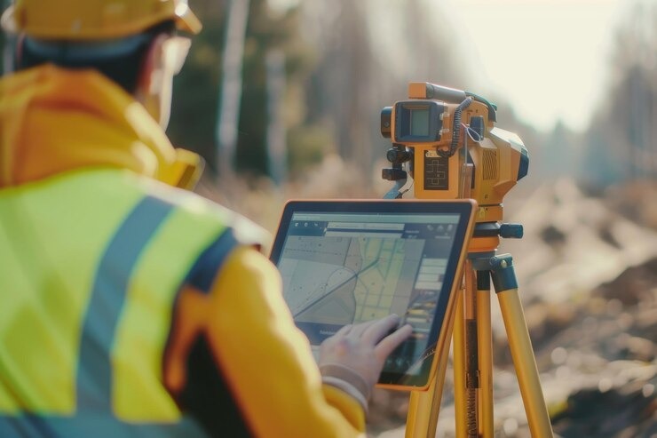
Topographic Survey Services
Why Choose Us
Trusted Engineering Survey Partner for Infrastructure, Metro, Highway & Industrial Projects Across India
Experienced Survey Professionals
Our qualified engineers deliver accurate topographic, hydrographic, GIS, and construction surveys using industry-best practices and modern equipment.
Advanced Survey Technology
We utilize Total Stations, DGPS, Drone Surveys, Auto Levels, and GIS mapping tools to ensure precise and reliable project data.
Accuracy & Timely Delivery
Every survey is completed with high precision, quality assurance, and on-time reporting to keep your project moving efficiently.
What Our Clients Say...
Real Experiences from Our Satisfied Clients Across Navi Mumbai & India
Gayatri Jena
"Pramitee Engineering & Surveys delivered highly accurate topographic and construction surveys for our infrastructure project. Their technical expertise, precision, and timely execution exceeded our expectations. We look forward to working with them again."
Trupty Biswal
"The team demonstrated exceptional professionalism throughout our GIS mapping and land survey requirements. Their detailed reports, modern equipment, and commitment to quality made the entire process smooth and reliable."
Siddheshwar Ghule
"We've partnered with Pramitee Engineering & Surveys on multiple projects, and they have consistently delivered precise survey data within the agreed timelines. Their experienced engineers and dependable support make them a trusted survey partner."
Frequently Ask Question
Purpose of land survey: Defines boundaries, area, and legal ownership.
What is the purpose of a land survey?
A land survey determines the precise boundaries, dimensions, and features of a property.
It’s essential for identifying legal property lines, which helps in avoiding disputes and
ensuring accurate property descriptions.
How long does a land survey take to complete?
The duration of a land survey depends on the size and complexity of the property. Typically,
a standard residential survey takes a few hours to a day, while larger or more complex
surveys may take several days.
Why do I need a land survey when buying property?
A land survey ensures you understand exactly what you’re purchasing. It confirms the
property’s boundaries, identifies any encroachments or easements, and helps protect your
investment by avoiding legal issues related to property lines.
When should I get a land survey done?
construction, when subdividing land, or when there’s a dispute over property boundaries. It’s
also advisable to update your survey if significant changes have been made to the property
What types of land surveys do you offer?
We offer a variety of land surveys, including boundary surveys, topographic surveys,
ALTA/NSPS land title surveys, construction staking, and more. Each type of survey serves a
specific purpose depending on your needs.
Can a land survey reveal easements on my property?
Yes, a land survey can identify any easements that exist on your property. Easements are
legal rights that allow others to use a portion of your land for specific purposes, such as
utilities or access roads.