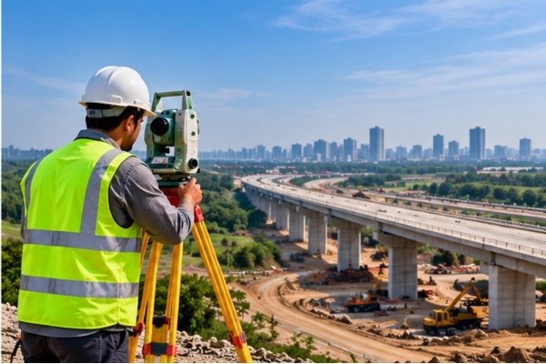
We deliver accurate land surveying and topographic solutions for roads, railways, bridges, reservoirs, transmission lines, and high-rise buildings. Using advanced GNSS, DGPS, Total Stations, and specialized software, we support infrastructure planning, construction, positioning, and mapping.
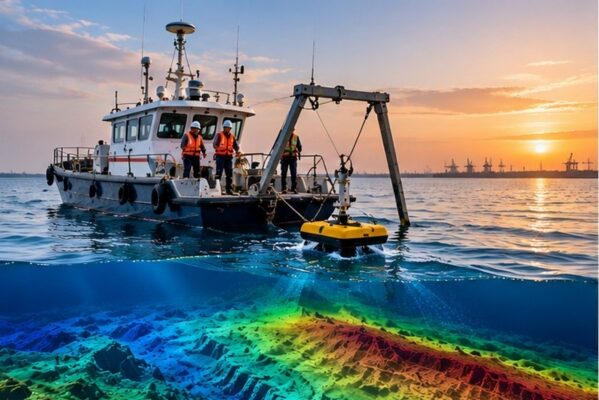
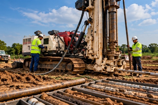
Our soil investigation and geotechnical services help assess subsurface conditions for construction and infrastructure projects. Our areas of specialization include soil investigation, land and marine geotechnical investigation, mineral exploration, micropiling, sampling, rock anchoring, and exploratory core drilling and grouting.